
Navigation methods that do not rely on GPS have been used for centuries and still work today. This guide covers advanced techniques for finding your way without GPS technology.
Celestial Navigation #
One of the oldest and most reliable methods of navigation is celestial navigation. By using the stars, moon, sun, and planets, sailors have been able to determine their position on Earth for centuries. You can also learn how to navigate using celestial bodies, even without a GPS device. It’s a skill that takes time to master, but it’s incredibly rewarding.
Understanding Celestial Bodies #
To navigate using celestial bodies, you need to understand how they move across the sky and how their positions change over time. The most important celestial bodies used for navigation are the sun, moon, stars, and planets. Each one follows a predictable path in the sky, which can help you determine your location.
Using a Sextant #
A sextant is a navigational instrument used to measure the angle between two objects, such as the horizon and a celestial body. By measuring this angle, you can calculate your position on Earth. Learning how to use a sextant requires practice and knowledge of celestial navigation principles.
Dead Reckoning #
Another important navigation technique is dead reckoning. This method involves calculating your current position based on a previously determined position, using your direction and speed of travel. While dead reckoning may not be as accurate as celestial navigation, it can still be a valuable tool for navigating without GPS.
Calculating Speed and Direction #
To use dead reckoning, you need to know your speed and direction of travel. By keeping track of these factors over time, you can estimate your current position. This method is particularly useful for short distances and when you have a clear idea of your starting point.
Keeping a Log #
When using dead reckoning, it’s important to keep a log of your speed, direction changes, and estimated positions. By maintaining a detailed record of your journey, you can retrace your steps if needed or adjust your course as necessary. A logbook can be a valuable tool for navigators practicing dead reckoning.
Nautical Charts and Maps #
Navigators have long relied on nautical charts and maps to navigate the seas. These detailed documents provide information on water depths, coastlines, landmarks, and other relevant features. Even without GPS technology, nautical charts remain an essential tool for mariners.
Understanding Chart Symbols #
Nautical charts use a variety of symbols to represent different features, such as navigational aids, depths, and hazards. By familiarizing yourself with these symbols, you can interpret the information on a chart more effectively. Understanding the key to nautical chart symbols is crucial for safe and accurate navigation.
Plotting Your Course #
When using nautical charts, it’s important to plot your course before setting sail. By marking your intended route on the chart and identifying key waypoints, you can navigate with greater confidence. Plotting your course allows you to anticipate potential obstacles and plan your journey more effectively.
Magnetic Compass Navigation #
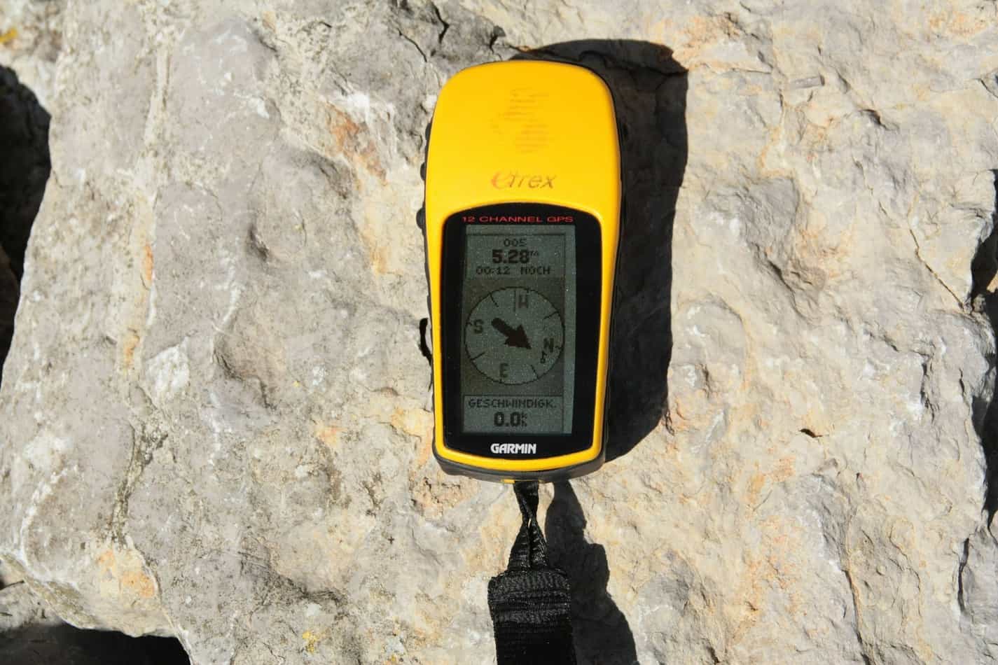
Before the invention of GPS, sailors relied on magnetic compasses to determine their direction at sea. A magnetic compass uses the Earth’s magnetic field to indicate north, south, east, and west. Understanding how to use a magnetic compass is a fundamental skill for any navigator.
Adjusting for Magnetic Declination #
Magnetic compasses are affected by magnetic declination, which is the difference between true north and magnetic north. To navigate accurately, you need to adjust your compass readings for the local declination. Failing to account for declination can lead to errors in your navigation.
Using Bearings #
When navigating with a magnetic compass, you can use bearings to determine your direction relative to specific landmarks or waypoints. By taking a bearing on a known object, you can establish your position and plot a course to your destination. Bearings are a valuable tool for precise navigation without GPS.
Radio Navigation #
Radio navigation is another technique that does not rely on GPS technology. By using radio signals from distant transmitters, you can determine your position and track your progress. While radio navigation systems have evolved over time, the basic principles remain the same.
Using Radio Beacons #
Radio beacons are ground-based transmitters that emit signals at specific frequencies. By tuning into these signals with a radio receiver, you can determine your distance and bearing from the beacon. Radio beacons are commonly used for navigation in coastal areas and near airports.
Loran and Omega Systems #
In the past, long-range radio navigation systems such as Loran and Omega were used for transoceanic navigation. These systems relied on coordinated networks of ground stations to provide accurate position fixes to mariners. While Loran and Omega have largely been phased out in favor of GPS, they represent an important chapter in the history of radio navigation.
Electronic Chart Plotters #
While electronic chart plotters do rely on GPS technology, they can still be used for navigation without an active GPS signal. Many chart plotters have the ability to display pre-loaded charts and track your progress using dead reckoning. This can be a useful backup option in case your GPS fails.
Loading Pre-Loaded Charts #
To use an electronic chart plotter without GPS, you need to load pre-loaded charts of your intended area. These digital charts provide detailed information on water depths, navigational aids, and other features. With pre-loaded charts, you can navigate with confidence even without an active GPS signal.
Dead Reckoning Mode #
Electronic chart plotters often have a dead reckoning mode that allows you to continue navigating without GPS input. By entering your speed and direction of travel, the chart plotter can estimate your position based on dead reckoning principles. This feature can be invaluable in situations where GPS signals are unreliable.
Conclusion #
While GPS technology has revolutionized navigation in the modern era, there are still many ways to navigate without relying on satellites. By mastering advanced navigation techniques such as celestial navigation, dead reckoning, and magnetic compass navigation, you can navigate with confidence in any situation. Navigating without GPS technology requires practice, knowledge, and a willingness to learn from the past. So next time you find yourself without a GPS device, remember that there are still plenty of ways to find your way. Happy navigating!
Related reading: the full survival skills guide; Map and Compass Land Navigation.